Stop guessing who your voters are.

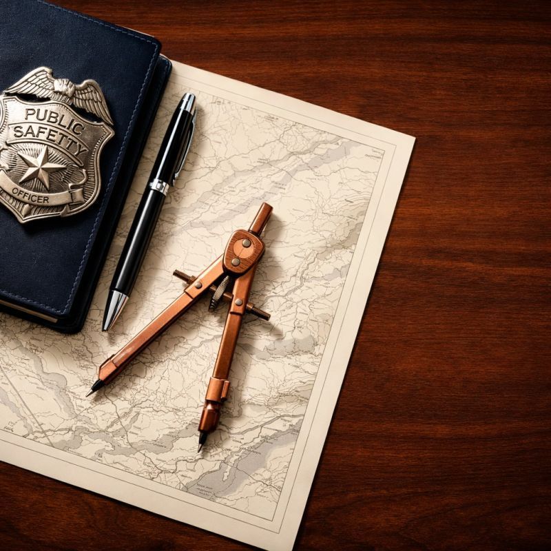
Many labor-endorsed candidates and public safety unions are still navigating the political landscape with 'Columbus-era' maps: relying on gut feelings, outdated assumptions, and broad guesses. In a high-stakes election, a guess is a gamble you simply can't afford.
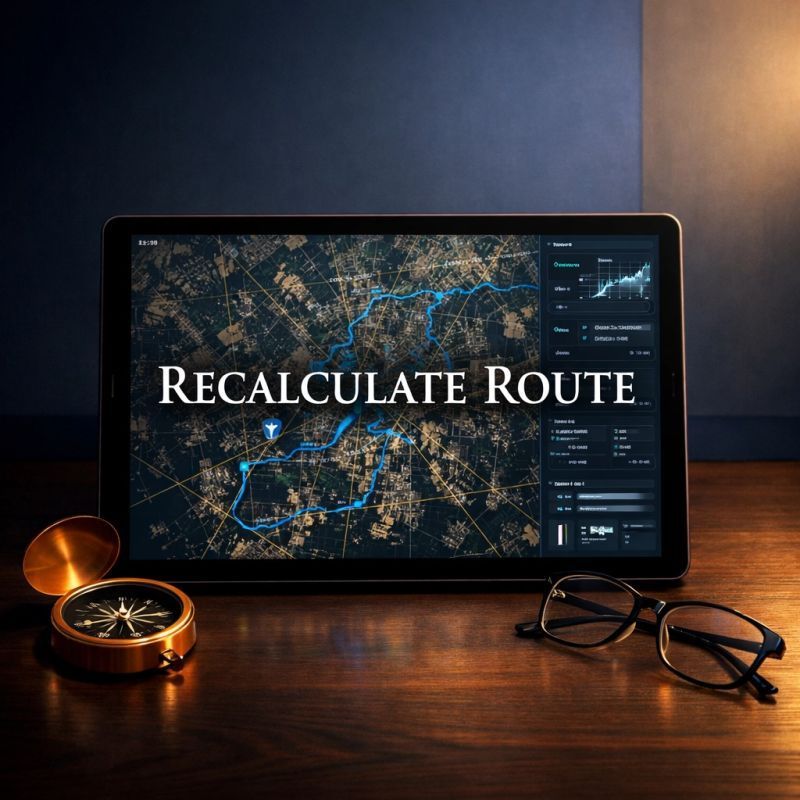
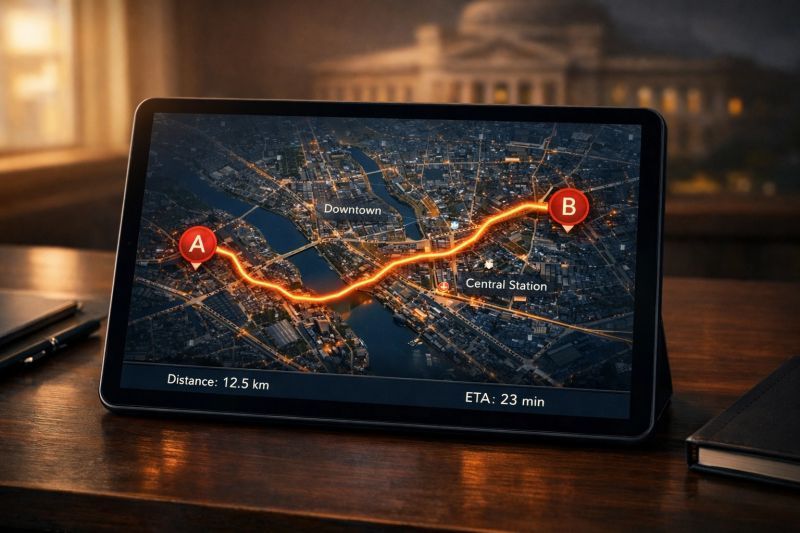
At Modern Cartographers, we move beyond the old ways. We use political 'cartography' powered by GPS-level data, LIDAR, and satellite imagery to see the terrain for what it actually is. We don't just point you in a general direction; we chart a precise course from Point A to Point B.
Whether you're running for office or fighting to pass a critical public safety measure, success depends on identifying and mobilizing the right people at the right time. We provide the high-resolution data needed to cut through the noise and ensure your message reaches the voters who matter most.
It’s time to trade the compass for a modern map. Let’s stop guessing and start winning.
Connect today to build your data-driven campaign strategy.
SHARE

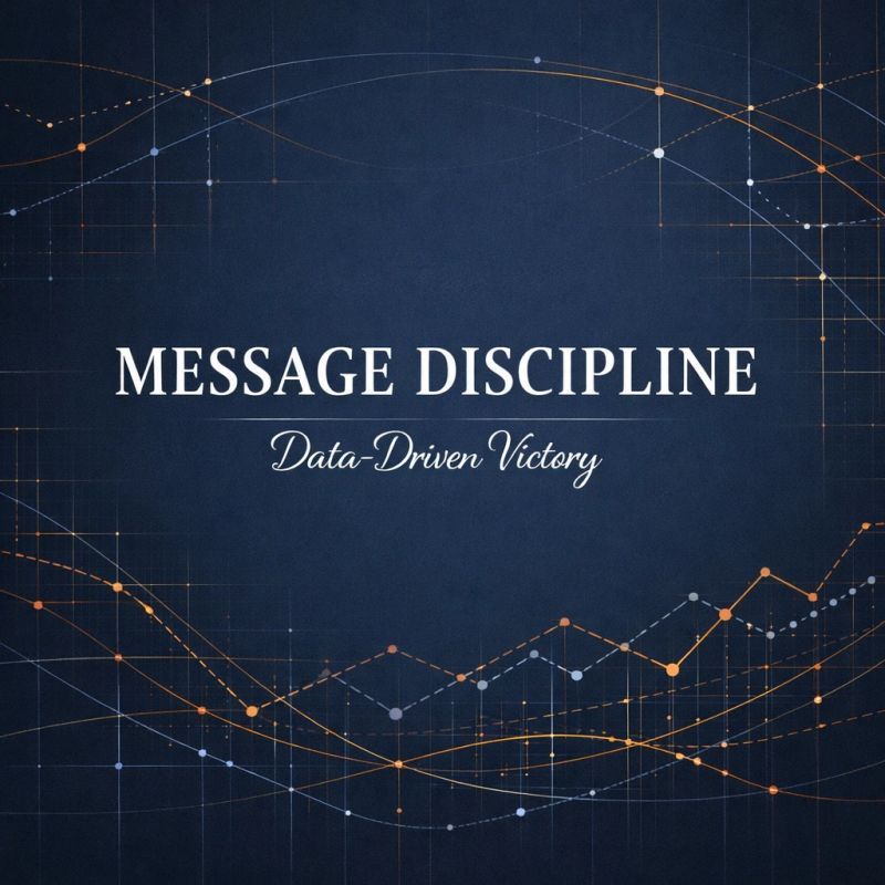
Campaigns don’t lose on Election Day: they lose in March when the operation is built on siloed data.